
Introduction
From the serene freshwater lakes of Minnesota to the winding rivers of the Southeast and the expansive Pacific coasts, water plays a critical role in the recreation, health, and biodiversity of the United States. Today, understanding and exploring these vital resources has become easier, smarter, and more personalized thanks to technologies like MapMyWaters.
Tailored for a wide range of users from anglers to environmental researchers, from waterway hikers to maritime enthusiasts MapMyWaters offers advanced tools for creating custom water maps, analyzing aquatic ecosystems, and planning recreational outings. Whether you’re tracking fish patterns, planning your next paddle trail, or monitoring water health, this digital solution brings precision-level geographic data to your fingertips.
In this in-depth guide, we explore what MapMyWaters is, how it works, and how it delivers real value for users across America. Whether you’re interested in waterway exploration, education, or environmental stewardship this guide breaks it all down in clear, actionable insights.
What is MapMyWaters?
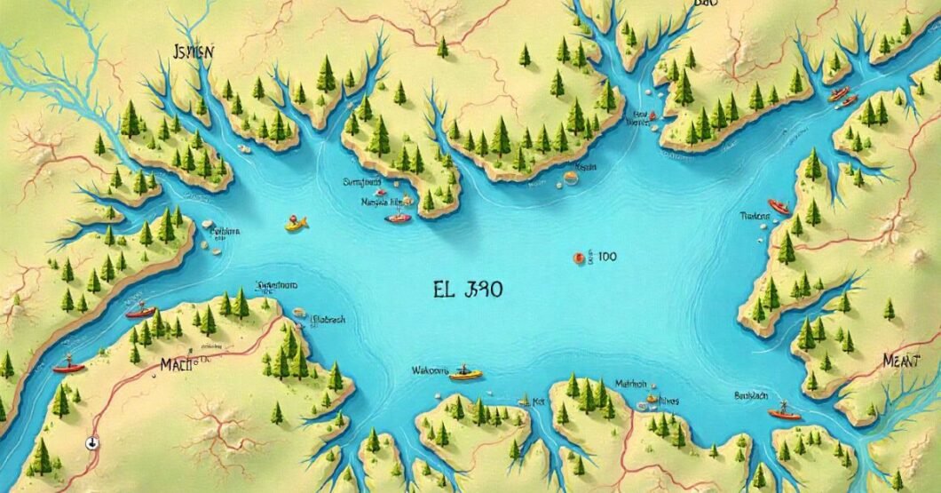
MapMyWaters is a powerful, digitally accessible platform that lets users explore, analyze, and visualize water bodies across the U.S. with personalized mapping tools. Designed for both national and localized data access, it fuses hydrographic datasets, satellite data, and user-generated content.
This mapping tool is not only comprehensive but also user-centric, catering to a wide array of needs:
- Customize bathymetric (underwater) maps
- Access live environmental data (like turbidity, pH, and algae bloom risk)
- Overlay fishing zones, kayak trails, or conservation areas
- Contribute and share your map data
This makes it ideal for those seeking either a more profound understanding of aquatic environments or just an enhanced outdoor experience.
Key Features & Capabilities
Let’s break down the most important core features that make MapMyWaters stand out in 2025’s digital mapping landscape.
Dynamic Mapping Layers
You can toggle between satellite imagery, sonar scans, weather overlays, and community-uploaded geodata layers.
Real-Time Water Condition Monitoring
Synced with environmental monitoring networks, including NOAA and USGS, users get real-time updates on:
- Flood risk
- Water temperature
- Current speed
- Algal bloom warnings
Mobile & Offline Access
Depending on the plan, users can download maps for offline access—perfect for remote adventuring.
| Feature | Availability | Comparison to Competitors |
| Satellite + sonar base-map | Yes | Rare among competitors |
| Offline functionality | On premium plans | More generous than Navionics |
| Environmental overlays | Included | Lacks in Google Maps |
| Custom Data Upload | Community & private | Missing in many mainstream tools |
How Does MapMyWaters Support Fisheries and Anglers?
For anglers, understanding your environment increases the chances of a successful catch. MapMyWaters enables fishers to map underwater contours, bookmark hotspots, and receive seasonal updates on fish populations and migratory patterns.
How It Benefits Fishers
- Bathymetric mapping for finding drops, ledges, reefs.
- Crowd-sourced hotspots with fish species tagged
- Weather integration for planning safe outings
Real-World Use:
In Florida, a local angler used MapMyWaters’ overlay tools during the 2025 snook season to mark and revisit high-yield areas based on sonar depth contours.
Environmental Monitoring & Research Applications
Scientists and environmentalists use MapMyWaters to track aquatic ecosystem changes caused by climate shifts, pollution events, and extreme weather.
Ideal For
- Monitoring nitrate levels
- Mapping flood-prone areas
- Calculating erosion over time
Upcoming Developments in 2025
The new EcoScan beta layer includes AI-predicted algae bloom events projected over 90 days, based on water chemistry and heatmaps.
| Application | Integrated Tool Used |
| Flood tracking | FEMA + NOAA Alerts |
| Algal Bloom Prediction | EcoScan AI (Q2 2025 release) |
| Ecosystem Analysis | User Layer + Historical Archive |
Educational Use
From middle school to graduate-level research, educators increasingly turn to MapMyWaters to sharpen geographically driven learning around biology, earth science, and environmental policy.
Curriculum Tie-ins
- Urban planning with watershed simulation
- Aquatic ecosystems and biodiversity
- Geospatial mapping
Tip: The recent integration with ArcGIS Story Maps allows interactive, student-friendly visuals for presentations and science fairs.
Recreation & Adventure Planning with MapMyWaters
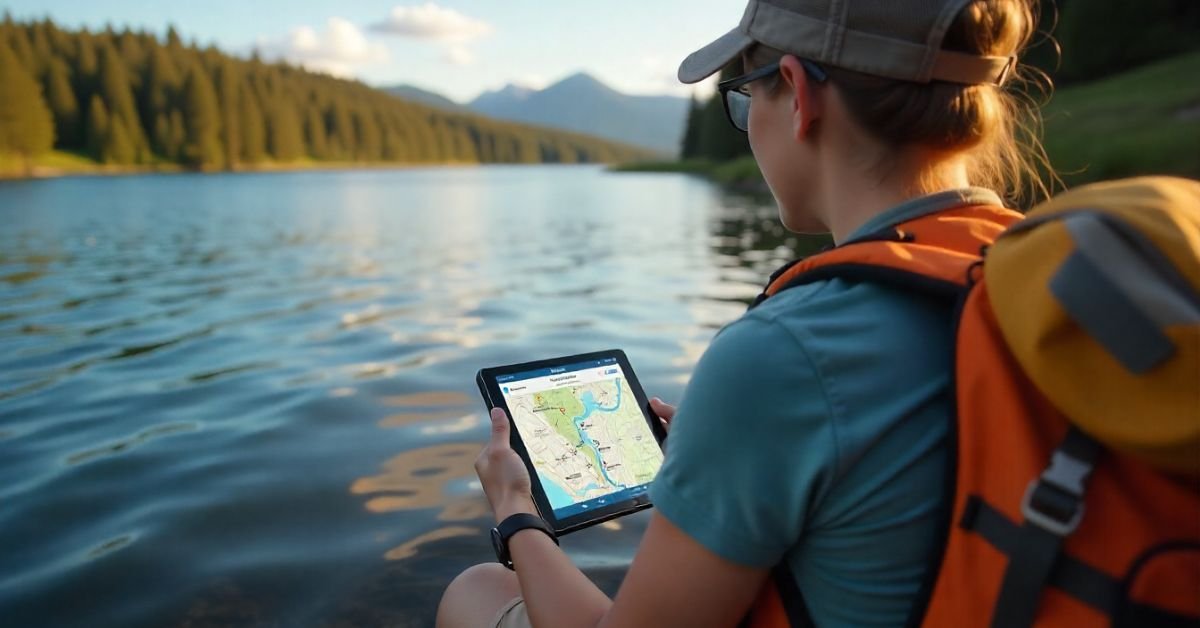
Campers, paddlers, and outdoor explorers will find MapMyWaters especially useful for trip planning. You can explore real-time conditions on rivers or lakes, check portage warnings, and save custom routes for kayaking, canoeing, or fly-fishing expeditions.
Popular Use Cases
- Planning a 3-day canoe trip along the Hudson River
- Backpackers crossing streams in the Pacific Northwest
- Scuba divers charting reef drop sites
Tip: Enable the community GPS-sharing tool to access safe entry points that have been shared by fellow travelers.
Custom Mapping
Not many mapping tools allow both a macro and micro perspective. That’s where this tool excels. Whether you want to monitor sedimentation across an entire watershed or map a single pond behind your backyard fence, MapMyWaters delivers the data.
Customization Options
- Topography mixed with hydrography
- Printed map outputs for fieldwork or reports
- Granular editing with input from handheld GPS devices
Real-Life Case Studies from Across the U.S.
Nothing beats real usage examples. Here’s how people in various U.S. states are using the platform:
| State | User Type | Usage Highlight |
|---|---|---|
| Michigan | Researcher | Tracked invasive mussel spread in Lake Erie |
| Louisiana | Conservationist | Used precipitation overlays for delta restoration |
| Colorado | Teacher | Students built hydrology projects from scratch |
| California | Surfer | Tides + algal bloom monitor near Santa Cruz |
Each case spells one thing: real value across diverse goals and regions.
How It Compares to Other Mapping Tools
Let’s stack up MapMyWaters against some of its top competitors like Navionics, Google Earth, and i-Boating.
| Feature | MapMyWaters | Navionics | Google Earth | i-Boating |
| Aquatic focus | Strong | Good | Weak | Moderate |
| Custom layers | Yes | No | Limited | Some |
| Real-time water data | Yes | No | No | Some |
| Citizen science support | Yes | No | No | No |
| Education integrations | Strong | Poor | Medium | None |
While Navionics is outstanding for boating routes, MapMyWaters excels in versatility, environmental insight, and educational depth.
Getting Started with MapMyWaters
You don’t need to be tech-savvy to dive in. Here’s how you can begin:
- Go to the MapMyWaters website or app store
- Create a free account
- Choose your activity type: fishing, recreation, research, or education.
- Begin plotting your river trip or lake research immediately.
- Upgrade for offline access or downloadable sonar mapping
Pro Tip: Check for local user groups on Reddit or Facebook, where shared routes are posted.
FAQs
Is MapMyWaters free?
Yes, there’s a free version with basic features. Paid plans unlock more mapping layers and offline capability.
Can I use MapMyWaters for marine navigation?
It’s more suited for inland waters, education, and environmental monitoring—not a replacement for Coast Guard-certified navigation tools.
Does it work internationally?
As of 2025, its strongest and most accurate datasets are U.S.-focused.
Can students use this database for science projects?
Absolutely, and it integrates with GIS tools for advanced research.
Is the data live?
Much of the information pulls from real-time sensors especially weather and water conditions from NOAA and USGS.
Conclusion
In 2025, water isn’t just something we enjoy, it’s something we must understand, protect, and navigate more intelligently. MapMyWaters steps into this space as more than a mapping tool; it’s a dynamic, data-driven solution built for those who interact with our nation’s waterways. Whether you’re an angler seeking the best fishing spot, a conservationist tracking pollution, or an educator bringing hydrology into the classroom, this platform turns complex water data into clear, accessible insights.
What sets MapMyWaters apart is its ability to combine scientific-grade environmental data with user-friendly features. From custom bathymetric maps and real-time weather overlays to educational integrations and community-contributed knowledge, it empowers users to explore lakes, rivers, and coasts with purpose and precision. It bridges the gap between recreation and research, making meaningful water exploration available to everyone.
As water challenges grow from inland flooding to algae blooms and habitat loss, having the right tools to navigate and respond is essential. MapMyWaters offers a future-forward answer, one that combines technology, community, and environmental awareness. Whether for fun, study, or fieldwork, there’s never been a better time to explore your waterways.